Posted October 4, 2021
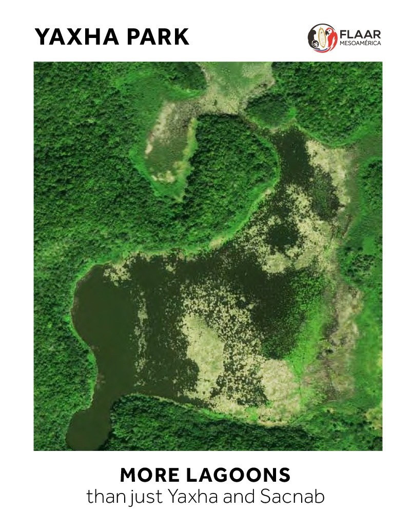
We are entering the 10th month of our 5-year research project on flora, fauna, and ecosystems of the entire Reserva de la Biosfera Maya. We are focusing on wetlands, especially swamps, marshes, riversides, lake and lagoon sides. But since savannas are seasonally inundated, as are the tintal forests surrounding the open grassland savannas, we include both under the generic concept of “wetlands.”
We find giant snail shells in almost every savanna or cibal that we hike through (in Parque Nacional Yaxha, Nakum and Naranjo, during our August 2018-July 2019 project there). Now we are finding the same giant snail shells in savannas or cibal sawgrass areas elsewhere in the Reserva de la Biosfera Maya. Although our primary focus is plants and biodiverse ecosystems, we are aware that thousands of years ago what is today a savanna may have been a bit different and used for a variety of purposes.
I am noticing, for example, that most savannas and cibal areas of PNYNN and PNLT (Parque Nacional Laguna del Tigre) have a “ring of water” around them; this ring is sporadic pools of shallow water. Often the humidity is underground but often the water is visible above ground.
Is this “ring of water” a natural result of local geology or soil? We hope to coordinate research with soil scientists and geologists in the future. Our goal is to find the wetlands on aerial photos, hike to these areas, and use our decades of capability of high-resolution digital photography to record these areas. We provide all these photos to CONAP and to the park administrators. Drone photography is needed even more than panorama and macro photography that we already do. We will be publishing our first drone photos of wetlands of the southwest area of PNYNN later this week.
This emotional video shows my reaction to seeing the endless kilometers of this wild virgin savanna area.
I thank the team that did the raw footage: Boris Llamas and Andrea Bocamonte. And Camila Morales of anima.works for the first edition and Sofia Monzon for the second edition.
In the eventual FLAAR reports in PDF format we will show the crab and the snail shell that were found in this part of Peten, far from any river or lake.


